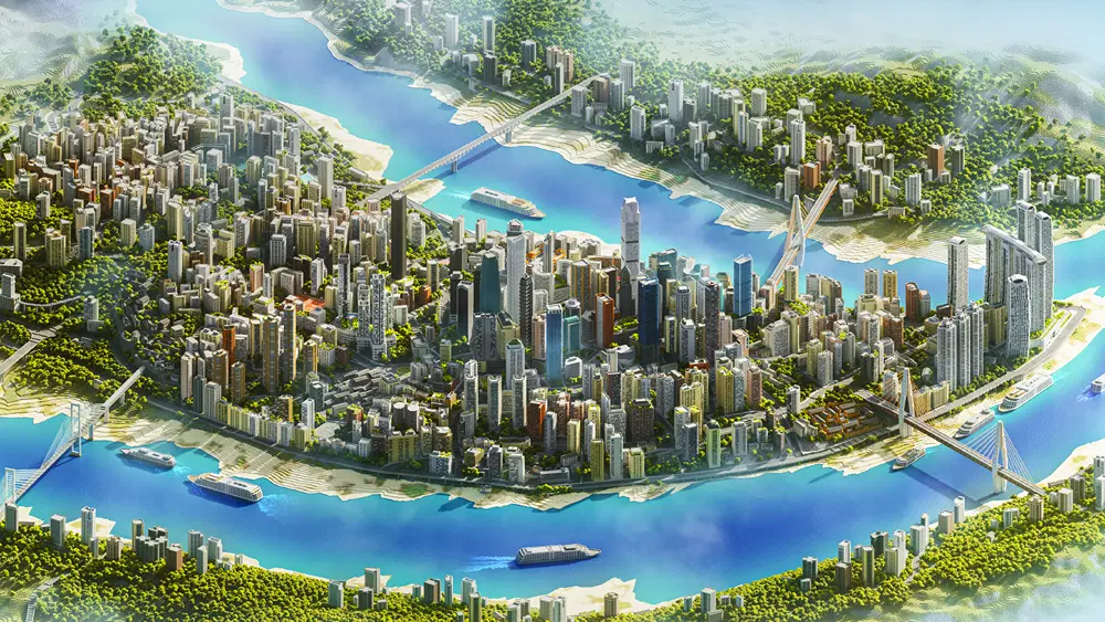
Rebuilding Chongqing in Minecraft reveals a city beyond street level
Chongqing’s streets do not stay on one plane. Bridges, sloping ground and passages through buildings make movement a three-dimensional problem. An architect publishing as Sluda Builds has explored that complexity by reconstructing its Yuzhong District in Minecraft.
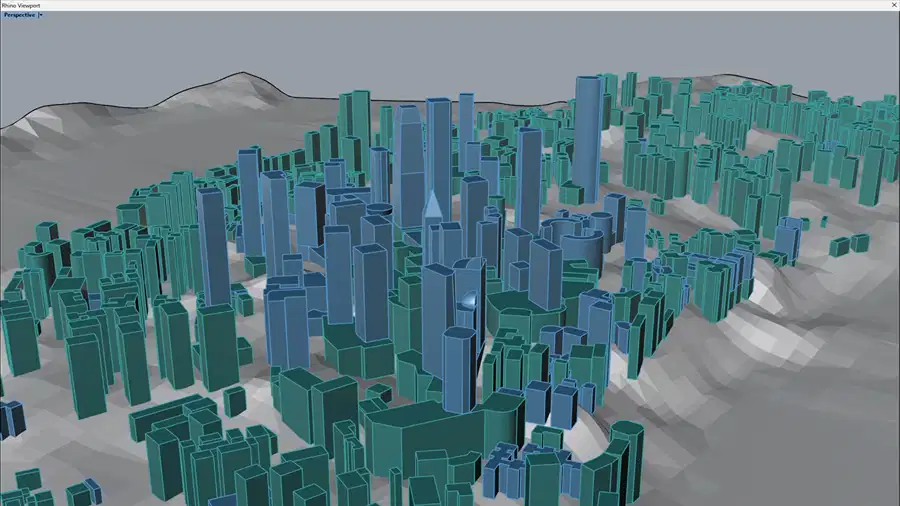
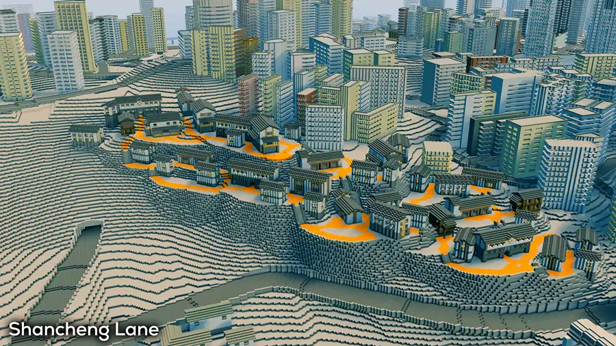
According to Archinect, Seth spent more than six months on the model, recreating over 1,000 buildings with a workflow combining Rhino, Grasshopper and Minecraft. Kuixinglou Plaza’s overlapping levels provided the starting point.
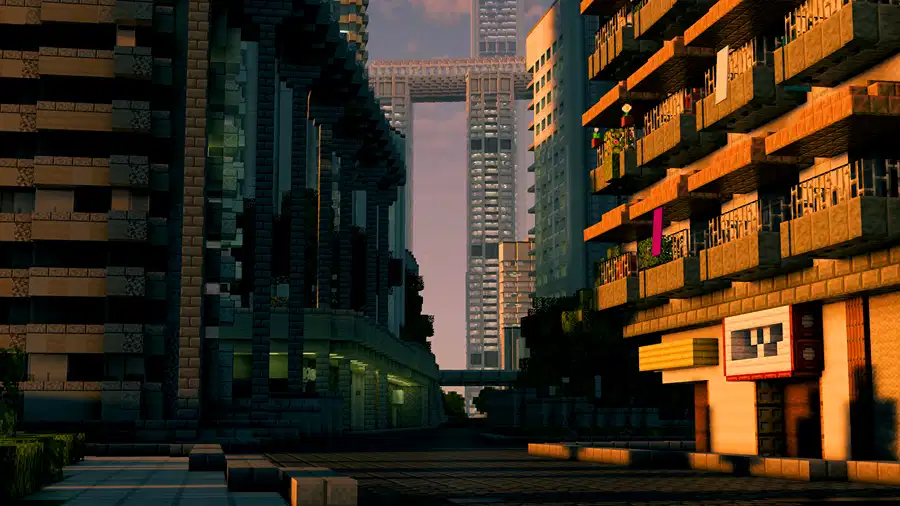
The study moves beyond skyline-making. Elevated walkways, outdoor escalators and routes through buildings reveal how separate structures contribute to a connected pedestrian network. Minecraft makes these relationships explorable from within, rather than visible only from above.
For an architectural reading, the useful shift is from buildings as individual objects to the spaces connecting them. The reconstruction asks us to follow the city in section as well as plan.
Cover image, project and video: Sluda Builds. Reporting: Paul Petrunia / Archinect.