SOM Plans Alam Al Roum Around Lagoons and Connected Coastal Districts
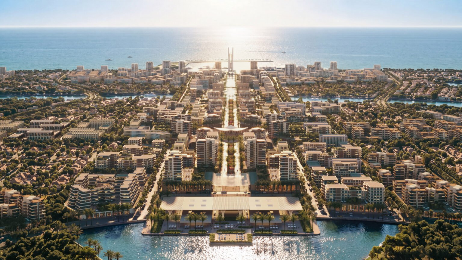
SOM’s masterplan for Alam Al Roum proposes a new coastal city near Marsa Matrouh, west of Alexandria. Developed for Qatari Diar, the approximately 20.6-million-square-metre scheme extends along 7.2 kilometres of Egypt’s Mediterranean shoreline. It remains a planned development, with first-phase delivery expected to begin in 2030.
The plan links residential neighbourhoods with mixed-use town centres, hospitality areas, education and business districts. This combination is intended to support permanent residents as well as seasonal visitors, making the relationship between everyday services and tourist infrastructure a central planning question.
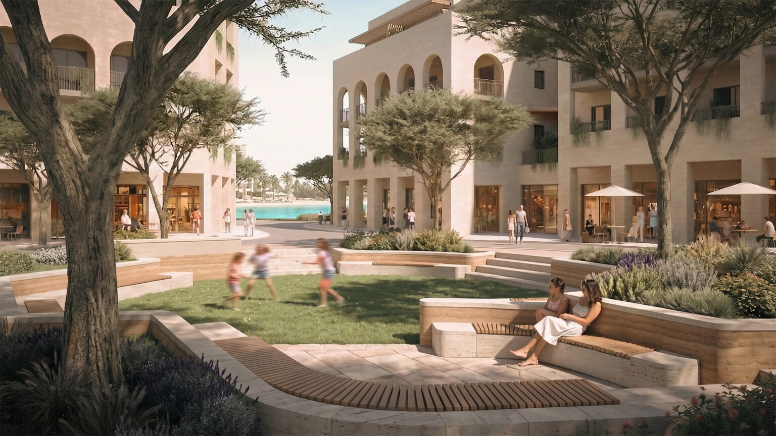
Water forms a major part of the proposed organisation. A network of lagoons extends inland from the coast, with promenades and neighbourhoods arranged along its edges. The design team also describes the water system as part of the site’s stormwater strategy; these are planned functions rather than verified performance results.
A boulevard connects an inland arrival and mobility hub with the marina. Along this axis, proposed cultural and civic destinations would include a pier, amphitheatre, lighthouse and markets. More than 30 kilometres of walking paths and trails are planned across gardens, shaded streets and waterfronts.
The wider team includes SWA for landscape design. Architectural work by WATG contributes residential typologies within the development, while the city-scale framework coordinates the relationship between buildings, movement, landscape and water.
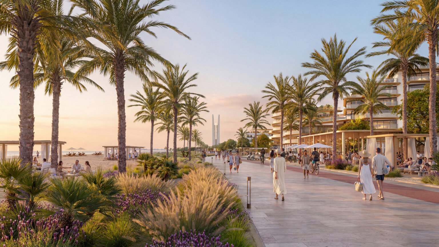
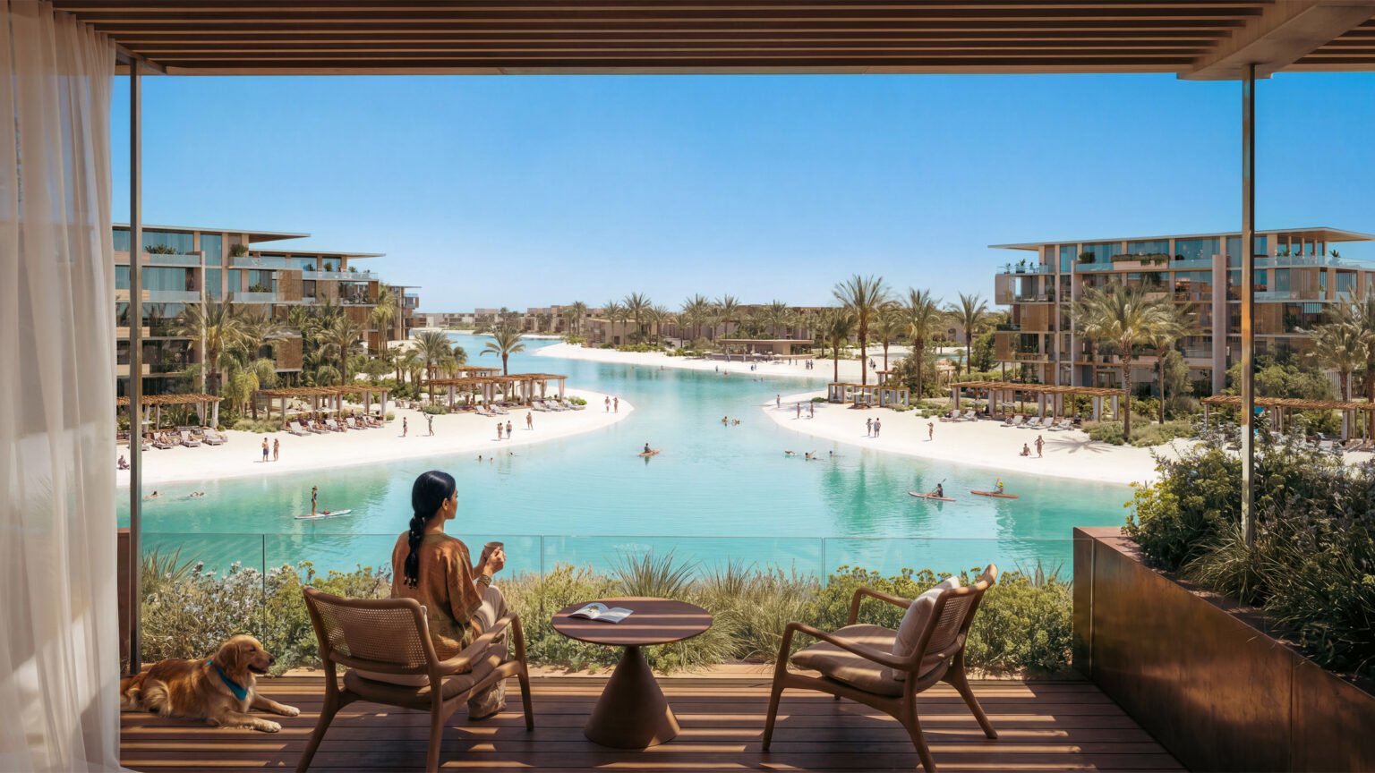
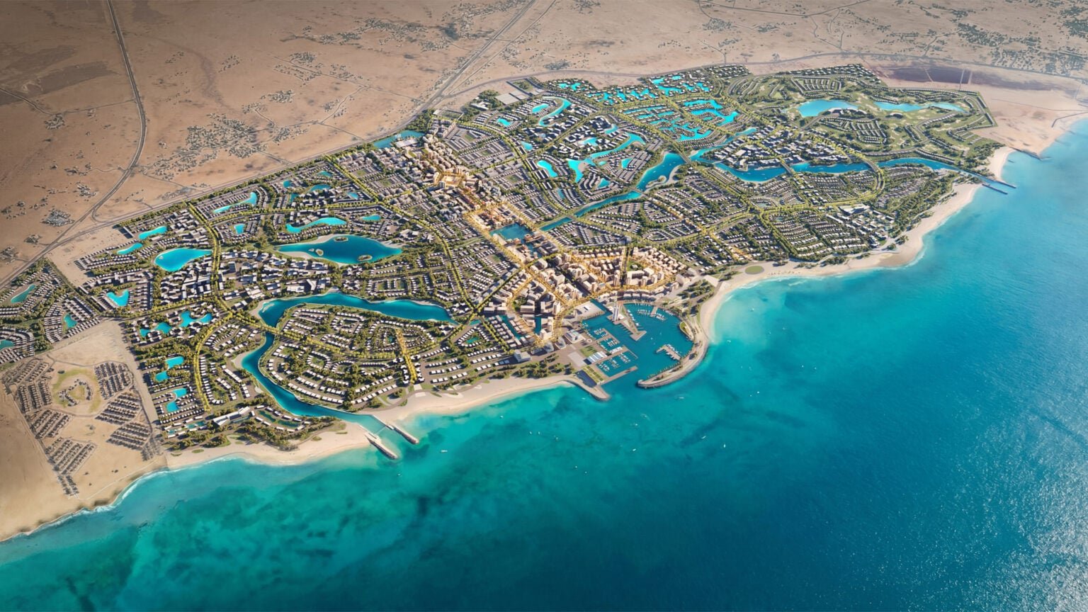
At this scale, the important questions extend beyond the appearance of individual buildings. The accessibility of the coast, the delivery of shared infrastructure and the long-term operation of the lagoon network will determine how the proposed urban structure works in practice. The published images show a design vision, not an existing city.
All images are renderings of the proposed masterplan, attributed to SOM, via Dezeen. Project information and image source: Dezeen.
Additional design-team information: WATG. All illustrations show the proposed development.